They were the longest three kilometres I’d ever walked. Just a stroll by ordinary standards, from our last rest stop at Majuba Creek to the picnic tables at Josephine Falls that would signal the end of our epic day on our Mt Bartle Frere walk in Queensland’s wet tropics.
The 1500-metre descent over four kilometres had already taken its toll: my knees screamed with every step, the humidity clung to our clothes like the leeches we regularly pulled from our bare legs, and those picnic tables seemed as elusive as ever…
Contents
Mount Bartle Frere
Rising 1622 metres above the surrounding green of Far North Queensland, Mt Bartle Frere has an impressive, and slightly formidable, reputation.
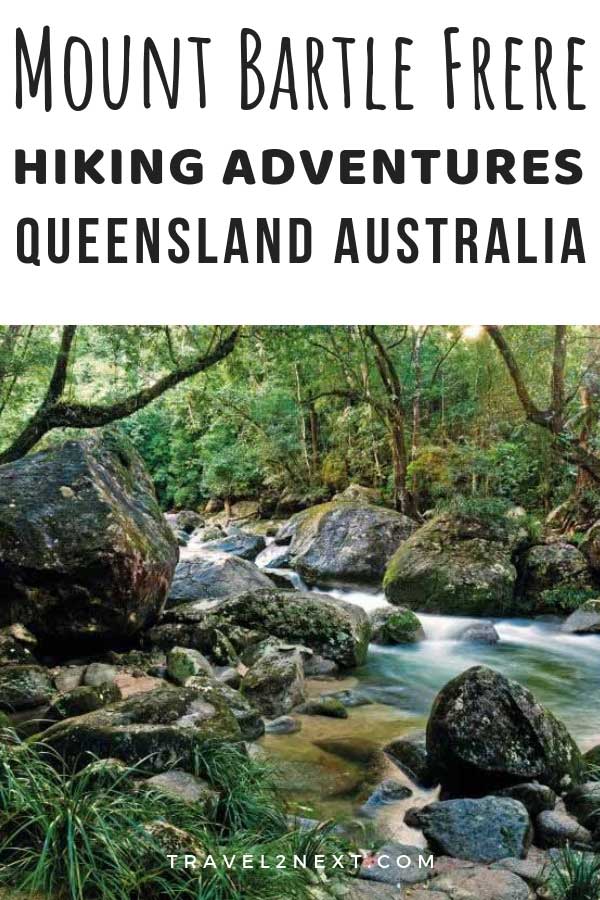
The highest mountain in Queensland and the fourth-highest on the Australian continent, Mount Bartle Frere is 70 kilometres south of Cairns and lies within Wooroonooran National Park and the Wet Tropics World Heritage Area.
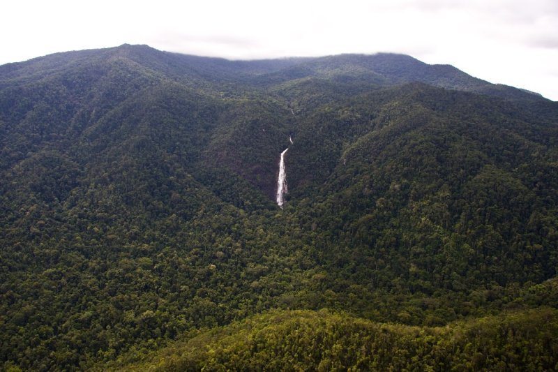
Queensland’s Wet Tropics were designated way back in 1988) and aptly named because this part of Queensland is the wettest place in Australia, receiving more than 10 metres of rain a year.
What you will see hiking Mt Bartle Frere
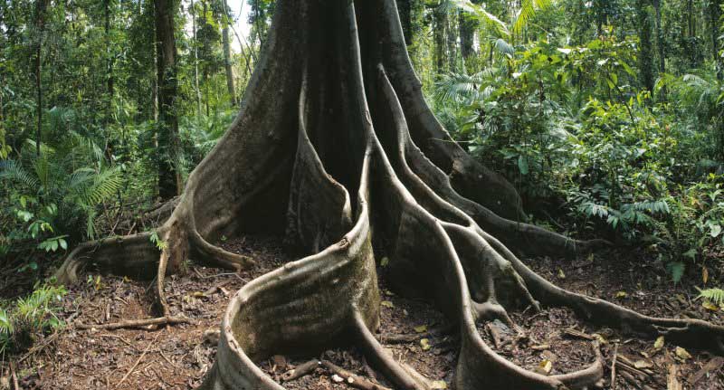
It rises so abruptly from sea to summit that climbing Bartle Frere is a journey through rainforest zones more biodiverse than anywhere else in Australia.
Its slopes contain plant and animal species found nowhere else in the world.
The Wet Tropics has more than 2800 plant species and a third of Australia’s 315 animals species, including more than 200 listed as threatened.
Besides all that, climbing this great green giant is a challenge, “one of the most difficult walks in Australia” according to Wooroonooran National Park ranger Les Jackson.
The trail is fiercely steep and requires some rock scrambling.
Hazards of climbing Mount Bartle Frere
Then there are the hazards:
- temperatures 10 degrees lower on the summit than at sea level
- the near-constant cloud that makes for soggy and foggy conditions (tourists often get lost in the mist, sometimes for days)
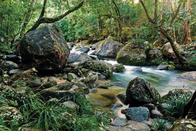
- boulder fields that become dangerously slippery when wet
- flash floods (mostly in the Wet Season, November-April) that can wash the track completely away.
Queensland Parks & Wildlife Service (QPWS) recommends that “only experienced and extremely fit bushwalkers” attempt the trail but there are ways to make the walk more manageable.
Although mountain hiking may not be one of the most obvious things to do in Queensland, there are several challenging mountains to climb, such as Mount Bartle Frere and Mount Barney.
Mount Bartle Frere Hiking Trails
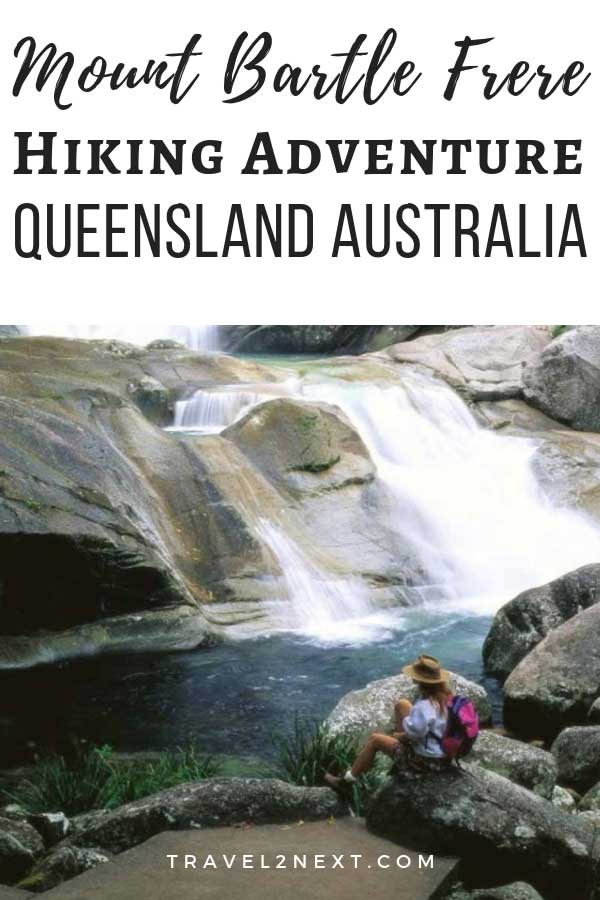
1- Steepest route – Josephine Falls
The hardest, most direct and most popular way to climb Bartle Frere is to start and finish at Josephine Falls.
This is the steepest route because you climb from (and return to) sea level, and the 15-kilometre return trip takes 10 to 12 hours.
2- Overnight camping on Mount Bartle Frere
Or you can make a weekend of it.
Start at Josephine Falls, walk three kilometres to Big Rock campsite at Majuba Creek, stay overnight and walk to the top and back (carrying just a daypack) the next day.
There’s another campsite near the summit but even in summer it can get freezing up there and campfires aren’t allowed because it’s a national park.
3- Atherton Tablelands to Josephine Falls
The third way to do the walk, and the way I did it, is to follow an up-and-over route that starts at an altitude of 700 metres on the western, Atherton Tablelands side of Bartle Frere and descends the mountain’s eastern slopes to Josephine Falls.
Like the direct route, it’s also about 15 kilometres, but much less steep, at least on the ascent.
Note: The QPWS discourages visitors from taking this route without a guide because it’s easy to get lost or bogged on the backroads leading to the start of the track, you have to leave your car in remote country and there’s the hassle of transfers when you finish.
Related posts: Tropical North Queensland has many wonderful places to see wildlife, such as Wildlife Habitat in Port Douglas and the Cairns Aquarium.
Mount Bartle Frere Hiking Experience
It was still dark when my guide picked me up from my Cairns hotel in his 4WD, but the sky began to lighten as we drove up the western side of Bartle Frere and it was 6.30 am by the time we started walking.
Hiking up Mount Bartle Frere
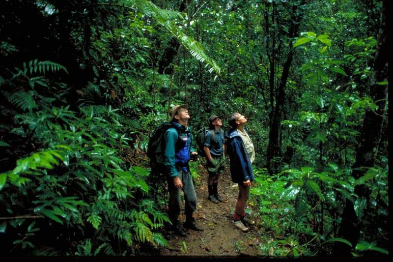
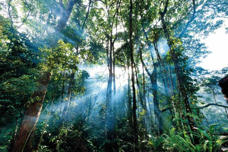
The rainforest was alive with birds, wild orchids lined the track, lianas draped themselves languidly over everything.
We passed massive trees pulled to the forest floor by strangler figs, bright orange bracket fungus the size of dinner plates and ankle-high forests of tiny ferns where leeches waved on leaf ends trying to make contact.
Then the bird calls stopped and the rain began.
The world became enveloped in a fine mist that grew wetter as we climbed into the clouds – and a cloud forest.
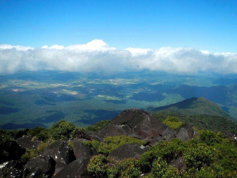
Occasionally we’d glimpse the surrounding country, far below, then the clouds would close in again.
Somewhere out there, we suspected, was a view.
And it can be spectacular.
If you’re lucky enough to be there on one of the Bartle Frere’s rare clear days, you’ll be able to see the entire Atherton Tablelands and even the Great Barrier Reef from the summit.
The mountain was named, by the way, by George Elphinestone Dalrymple, leader of an expedition along the coast in 1873, after Sir Henry Bartle Frere, the then president of the Royal Geographical Society in London and the British governor of Cape Town in South Africa.
Of course, the Noongyanbudda Ngadjon who had long lived as hunter-gatherers around the upper Russell River and in the foothills already had a name for it – Chooreechillum – though they rarely visited the summit, believing it to be inhabited by the spirits of their long-dead ancestors.
Reaching the Mount Bartle Frere summit
Even now, it seems a desolate place, when we finally, gratefully, reach it: cold and full of granite boulders black with lichen appearing and disappearing in the mist.
While we put on beanies, scarves and fleeces (in Far North Queensland!), my guide and I read a small plaque commemorating Christie Palmerston, a local explorer and prospector who, with the aid of the local indigenous people, became “the first white man to climb Mount Bartle Frere” on 26 October 1886.
Getting to the summit proved to be easier than what came next: the descent of Bartle Frere’s infamously vertical eastern side.
The descent
After passing the boulder field and wandering back into the rainforest, I was lulled into a sense that it wouldn’t be as bad as I’d heard – until the trail suddenly fell away beneath my hiking boots.
If it had been any steeper, we would have been in freefall.
There was nothing for it but to start, slowly, heading down and down and down, holding onto tree trunks and roots to stop ourselves sliding, sidestepping occasionally to rest our knees.
Like I said: the longest three kilometres of my life.
Then, like all things, it ended.
I couldn’t believe my eyes when we emerged into a clearing, the Josephine Falls carpark.
I felt as if I’d been away from civilisation for days.
That’s the beauty of immersing yourself in such an intense natural environment as Bartle Frere.
As I hobbled the last couple of hundred metres to the lookout to see the falls, before collapsing into our waiting vehicle, I felt two more things: a sense of privilege at having spent an entire day in such an untouched and ancient place, and a deep longing for a hot bath.
Love hiking? Here are some posts you might enjoy:
Plan Your Trip

Rent A Car – Find the best car rental rates at Discover Cars. They compare car hire companies to provide you with the best deal right now.
Find A Hotel – If you’re curious about this article and are looking for somewhere to stay, take a look at these amazing hotels.