The third-largest state in the United States by area, California has more national parks than any other state. Every year, millions of visitors head to California’s national parks to explore its rugged coastlines, dense forests, majestic mountains, deserts and volcanic beds.
Besides the nine national parks in California, the state has several other national park sites such as National Monuments, National Forests, National Recreational Areas and National Historic Sites.
Contents
- California National Parks
California National Parks
9 National Parks In California
1- Joshua Tree National Park
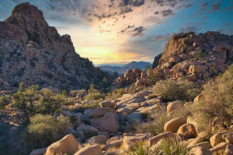
Joshua Tree National Park was a national monument from 1936 to 1994 before becoming a national park.
Covering an area of 795,156 acres (332,788 ha), Joshua Tree National Park is a stunning landscape of mountains and massive boulders.
The park is on the border of two desert ecosystems – the Mojave Desert and the Colorado Desert – and is home to a fantastic variety of plants and animals.
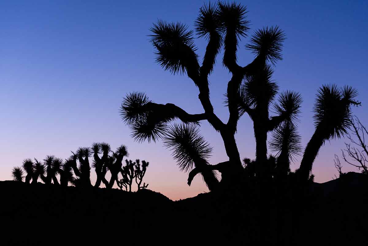
It has a special allure with its surreal landscapes dotted with the striking Joshua trees the park is named after.
Joshua Tree National Park is about 160 miles (257 km) east of Los Angeles and San Bernardino and 190 miles (306 km) west of Las Vegas.
Things To Do In The Park
- Hiking
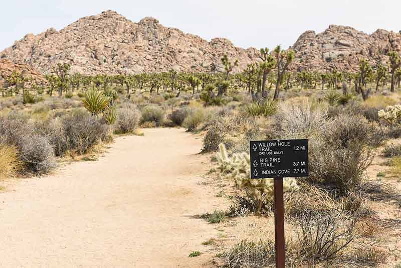
Enjoy breathtaking views while hiking on various nature trails that range from easy to strenuous.
The mile-long Hidden Valley Nature Trail is an easy loop that winds through an incredibly scenic area of the park.
- Rock Climbing
Joshua Tree National Park attracts climbers from all over the world who are keen to climb its distinctive rock formations.
There is something for climbers of all abilities, with over 8000 climbing routes and hundreds of climbing formations.
- Camping
The park is a fantastic place to go camping, with nine developed campgrounds each with a distinct look and feel.
But even if you’re not into camping, sleeping among the Joshua trees surrounded by unique rock formations is something to experience in this California national park.
- Stargazing
Joshua Tree National Park is one of the official International Dark Sky Parks.
This national park in California has some of the darkest night skies due to its remoteness away from city lights.
How To Get To The Park
The closest cities to this national park in California are Yucca Valley and Palm Springs.
There are three ways to enter the park: the West and North entrances are off State Route 62, while the South entrance is on Interstate 10, 25 miles (40 km) from Indio.
2- Yosemite National Park
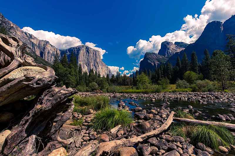
Yosemite National Park is in the western part of the Sierra Nevada mountain range and is one of California’s most famous national parks.
With an area of 759,620 acres (307,407 ha), Yosemite National Park is famous for its natural features, including valleys, meadows, waterfalls, granite rock formations, forest trails and giant sequoia groves.
Yosemite was granted national park status in 1890 and receives millions of visitors each year, becoming a UNESCO World Heritage Site in 1984.
Almost 95% of the park is wilderness, home to an incredible range of plants and animals.
Things To Do In The Park
- Hiking
Yosemite National Park has 800 miles (1,300 km) of trails ranging from short and easy to full-day and multi-day hikes.
The most popular is the trail to the summit of Half Dome, a granite dome that rises nearly 4,800 feet (1,464 m) above the valley floor.
- Rock Climbing
Rock climbing is an activity that attracts outdoorsy types to Yosemite National Park.
You can see climbers on anything from 10 ft (3 m) boulders to the popular 3,000-foot (914 m) face of El Capitan, a granite monolith on the north side of Yosemite Valley.
- Yosemite Valley
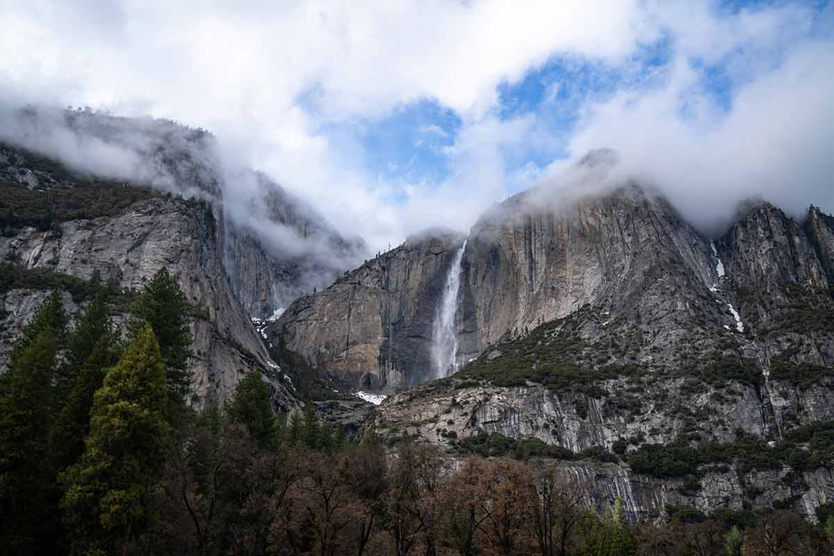
Yosemite Valley is one of California’s most spectacular natural areas for its stunning waterfalls.
It’s home to the tallest waterfall in North America, Yosemite Falls, as well as Bridalveil Falls and Horsetail Falls.
- Glacier Point
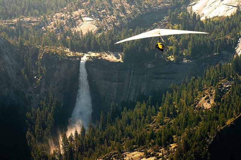
At 7,214 ft (2,199 m), Glacier Point is one of the park’s most well-known viewpoints, offering a spectacular view of Yosemite Valley, Yosemite Falls and Half Dome, among other features.
How To Get To The Park
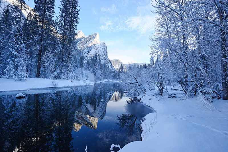
You can access Yosemite National Park all year through five entrances off Highways 41, 140, and 120.
For more California ideas, see:
- 40 Things To Do In Lake Tahoe
- 20 Things To Do In San Francisco At Night
- 21 Things To Do In Los Angeles At Night
- 23 Landmarks In Los Angeles
- 20 Landmarks In California
- 20 San Diego Landmarks
- 20 Songs About California
- Best Places To Visit in California
- 20 Things To Do In Santa Ana
- 20 Things To Do In Malibu
- Deserts In California Guide
- 20 Things To Do In Fremont
- 20 Things To Do In Berkeley
- 20 Things To Do In Monterey
- 20 Things To Do In Anaheim
- 20 Things To Do In Santa Rosa
- Best Time To Visit California
- Los Angeles To San Francisco Road Trip
- San Diego To San Francisco Road Trip
- 20 Things To Do In Ventura
- 20 Things To Do In San Luis Obispo
- 20 Things To Do In Palm Desert
- 20 Things To Do In Palm Springs
- 20 Things To Do In Pasadena
- Where To Stay In Los Angeles
- 20 Things To Do In Bishop CA
- San Francisco to Yosemite National Park Road Trip
- 20 Things To Do In Yosemite
- 20 Waterfalls In California
- 20 Things To Do In Big Bear
- 20 Things To Do In Laguna Beach
- 20 Things To Do In Solvang
- 20 Things To Do In San Ramon
- 20 Things To Do In Roseville
- 20 Things To Do In Carmel
- 15 Things San Francisco Is Famous For
- 20 Ghost Towns In California
- 20 Ways To Spend Christmas In California
- San Francisco Itinerary
- San Francisco Bike Tours
- San Francisco Go Cars
- Exploring Hearst Castle
- Yosemite National Park
- 9 California National Parks
- Lake Tahoe Snowshoe Adventure
- 20 Things To Do In Bakersfield
- 20 Things To Do In Redding California
- 20 Things To Do In Manhattan Beach
- 20 Things To Do In Fresno
- 20 Things To Do In Riverside
- 20 Things To Do In Long Beach
- 20 Places To Go Glamping In California
- 20 Things To Do In Eureka
- 20 Los Angeles Day Trips
- 20 San Francisco Day Trips
- 20 Things To Do In Santa Cruz
- 20 Things To Do In Beverly Hills
- 20 West Hollywood Bars
- 20 Things To Do In Half Moon Bay
- 20 Things To Do In Morro Bay
- 20 Beaches In San Francisco
- Grand Canyon National Park Photos
- 20 Things To Do In Stockton
- 20 Things To Do In Temecula
- 20 Things To Do In San Bernardino
- 20 California Cities
- 20 Things To Do In Irvine
- 20 Lake Tahoe Beaches
- 20 Things To Do In Yosemite in Winter
- 20 Things To Do In Lake Arrowhead
- 15 Things California Is Famous For
3- Redwood National And State Parks
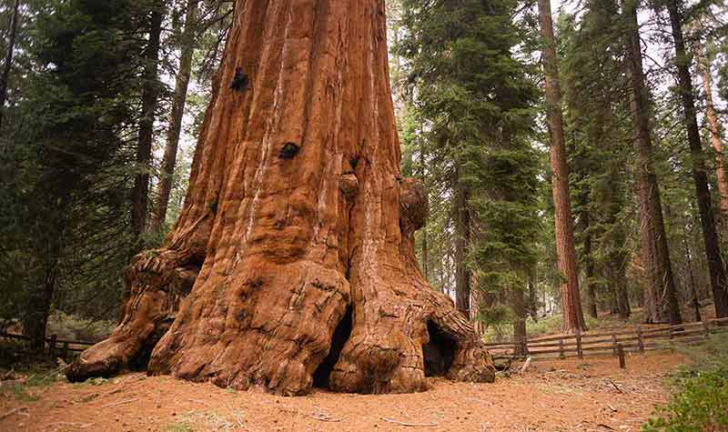
The Redwood National and State Parks complex includes Redwood National Park, Del Norte Coast State Park, Jedediah Smith State Park and Prairie Creek State Park.
The four parks in the northernmost coastal area of California are managed as one entity by the National Park Service (NPS) and the California Department of Parks and Recreation (CDPR).
Established in 1968, these parks protect 139,000 acres (56,251 ha) of Redwood forests, which are among the world’s tallest, oldest and largest tree species.
These incredible massive trees can grow to be 350 feet (107 m) tall and live for thousands of years.
The parks also protect a distinct landscape of prairies, coastline, freshwater rivers, waterfalls and dramatic cliffs.
The parks are home to several threatened and endangered species, such as the Northern Spotted Owl and Western Snowy Plover. Stellar Sea Lions bask in the sun on the coastal rocks.
Things To Do In The Park
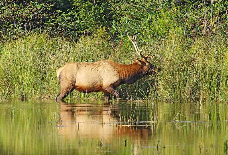
- Scenic Drives
The parks have several scenic routes that wind past majestic trees.
Popular scenic drives are Howland Hill Road, Coastal Drive, Bald Hills Road, and Newton B. Drury Scenic Parkway.
- Hiking
The parks have several excellent hiking trails ranging from short walks to full-day hikes, such as Tall Trees Grove, Fern Canyon and Boy Scout Tree.
- Camping
Four well-established campgrounds are relatively accessible and provide basic amenities. There are also seven backcountry camps for those looking for a deep wilderness escape.
How To Get To The Parks
The parks stretch for about 37 miles (60 km) from north to south, with four visitor centres off US Highway 101.
4- Lassen Volcanic National Park
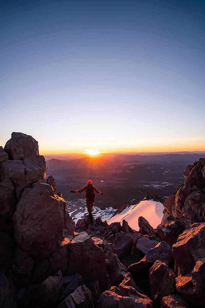
Lassen Volcanic National Park in Lassen County, northeastern California, is spread across 106,452 acres (43,079 ha) and was established in 1916 due to volcanic activity.
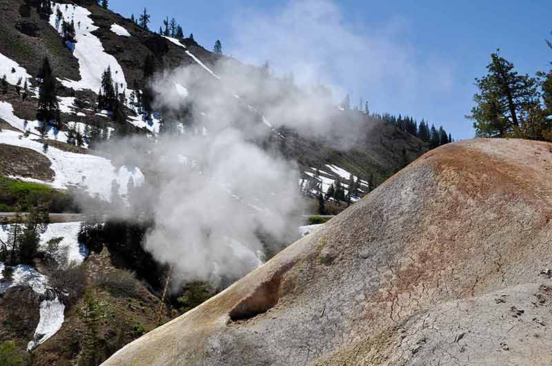
Visitors can get a close look at the park’s hydrothermal areas, including mud pots, sulphur fumaroles, hot springs and lava rocks.
The park is unique in that it contains all four types of volcanoes: plug domes, shield volcanoes, cinder cones and stratovolcanoes.
The park’s main attraction, Lassen Peak, is also the world’s largest plug dome volcano.
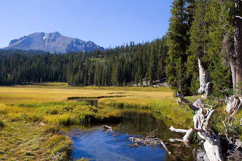
In addition to the park’s volcanic features, there are abundant forests, shimmering lakes and flower-filled meadows.
Things To Do In The Park
- Hiking
Visitors can hike through 150 miles (241 km) of hiking trails of varying difficulty in the park.
Two of the most traversed trails include the Bumpass Hell Trail, a three-mile (5-km) loop trail leading to the park’s largest hydrothermal area, and the Pacific Crest Trail, which provides visitors with breathtaking views as they hike through it.
- Explore The Park’s Lakes
Lassen Park is home to several magnificent lakes, each beautiful and unique in its own right, including Lake Helen, Summit Lake, Manzanita Lake, Juniper Lake, Butte Lake and Boiling Springs Lake.
The lakes in this Californian national park are ideal for camping, fishing, swimming, kayaking, canoeing or simply relaxing on the shores.
- Visit Sulphur Works
Sulphur Works is the most accessible hydrothermal zone in the park and is a unique landscape of bubbling mud pots, fumaroles and strong scents.
Visitors can photograph the area, participate in ranger-led tours or hike along the Ridge Lakes trail.
How To Get To The Park
You can get to the park via State Routes 89 and 44. SR 89 runs north to south through the park, beginning in the south at SR 36 and ending in the north at SR 44.
5- Channel Islands National Park
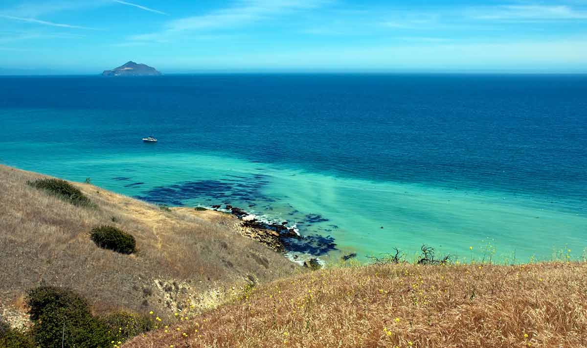
Off California’s Pacific coast, Channel Islands National Park was established in 1980.
This national park in California includes five of the eight islands that make up the Channel Islands: Anacapa Island, Santa Cruz Island, Santa Rosa Island, San Miguel Island, and Santa Barbara Island.
These islands have distinctive features and collectively cover 249,561 acres (100,994 ha), providing visitors with breathtaking scenery.
The Channel Islands have a long human history dating back about 3000 years, and they also have the oldest known human remains in North America from the same period.
The park is home to over 145 endemic species, including the island fox, California sea lion, harbour seal, deer mouse, spotted skunk, barn owl and island fence lizard.
Things To Do In The Park
- Hiking
Hiking through the park is one of the best ways to enjoy its breathtaking scenery.
At least 24 different trails meander across the various islands, from the Pelican Bay Trail and the Scorpion Canyon Loop on Santa Cruz Island to the Black Mountain climb and Torrey Pines Trail on Santa Rosa Island.
- Whale Watching
Several whale-watching tours offer opportunities to see different whale species such as grey, blue, humpback, minke, sperm and pilot whales.
You can also find other creatures such as dolphins, porpoises, harbour seals and sea lions in the waters surrounding the park.
- Kayaking
Kayaking is a rewarding way to experience the natural marine environment of the Channel Islands National Park.
Visitors can kayak east towards Scorpion Rock or west towards Cavern Point to view wildlife and the stunning sea caves in the area.
How To Get To The Park
The mainland visitor centre in Ventura is easily accessible by car or public transportation, but the islands are only accessible by boats and planes.
6- Death Valley National Park
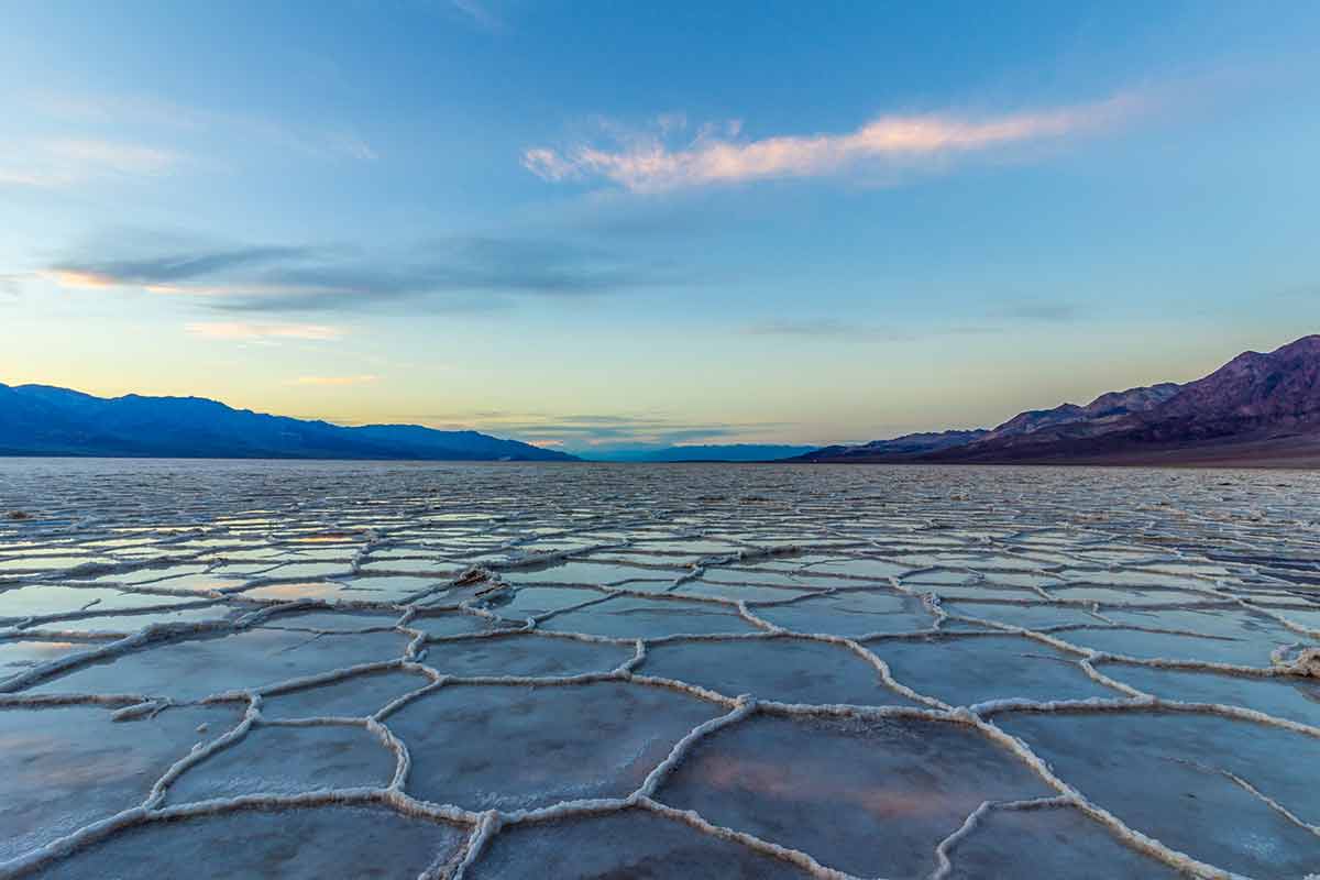
On the California–Nevada border east of the Sierra Nevada range, Death Valley National Park is the contiguous United States’ largest national park.
It became a national monument in 1933 before being escalated to national park status in 1994.
The park is massive, covering around 3,300,000 acres (1,335,662 ha) in California and parts of Nevada.
It’s one of the most visited in the United States and the hottest, driest, and lowest park in the country.
The park has a terrain of sand dunes, salt flats, mountains, canyons, deserts and valleys, among other distinctive features.
Despite its name and desolate appearance, Death Valley National Park has incredible vegetation.
The park is also home to a diverse range of wildlife, including bighorn sheep, jackrabbits, desert tortoises, birds and endemic species like the Death Valley pupfish.
Things To Do In The Park
- Artists Palette
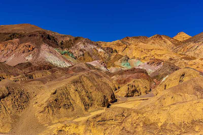
Artists Palette is a colourful hillside located on Artists Road, a nine-mile (14-km) drive with stunning views of the landscape.
The hills of this spectacular Artists Palette are coloured by metals in the rock, with the colours ranging from yellow, red, and orange to blue, pink, and green.
- Zabriskie Point
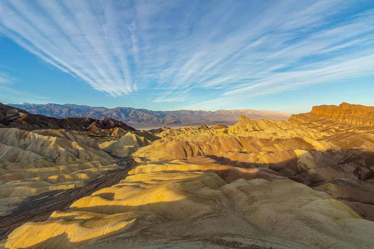
Zabriskie Point is the most popular viewpoint in the park, from where visitors can see the hard-packed ridges of earth and salt flats below.
The breathtaking views of Zabriskie Point are among the most photographed in the park, and it’s a perfect spot to gaze at the sunrise and sunset.
- Badwater Basin

Badwater Basin, the lowest point in North America, is located at the park’s south end and is surrounded by a landscape of vast salt flats covering over 200 square miles (518 square km).
Visitors will enjoy the region because it is fascinating and offers a wide range of activities.
- Ubehebe Crater
Ubehebe Crater is a half-mile wide and 400 ft (121 m) deep volcanic crater formed when molten lava collided with groundwater, causing steam to explode through the soil above.
The terrain is one of the most unique in the park, and it’s a great place to learn about the power of maar volcanoes.
- Mesquite Flat Sand Dunes
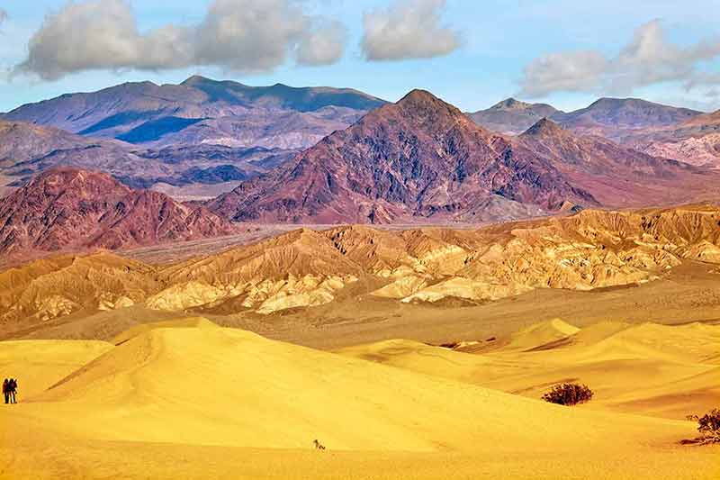
This popular Death Valley dune field is named after the abundant mesquite trees found there.
The dunes are famous for their beautiful shadows at sunrise and sunset, with the largest dune soaring towards the sky at 100 ft (30 m) high.
How To Get To The Park
The closest city to the park is Lone Pine, and Highway 395 is the most direct route from there. California Highway 190 also runs from east to west through the park.
7- Pinnacles National Park
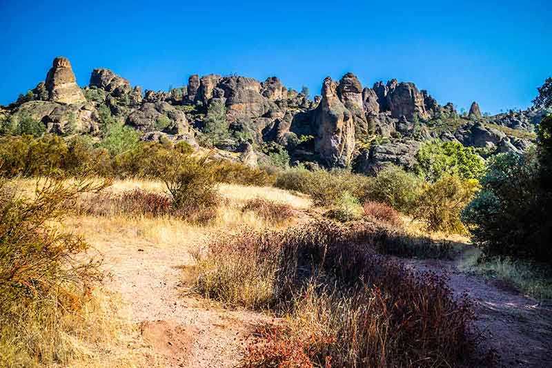
Pinnacles National Park is in Central California, east of Salinas Valley.
Initially established in 1908 as Pinnacles National Monument, the park was renamed a National Park in 2013 and now encompasses 26,606 acres (10,767 ha).
The terrain is distinct, with monoliths, canyons, spires and caverns formed by an extinct volcano 23 million years ago.
Due to tectonic plate movement, the stunning rock formations have moved from their original location around 200 miles (320 km) to their current location on the San Andreas Fault.
This spectacular landscape is home to a diverse range of wildlife and is well-known for the beauty and diversity of its spring wildflowers.
At least 13 bat species have been discovered in the park, which also is prime habitat for prairie falcons and a release site for California condors hatched in captivity.
Things To Do In The Park
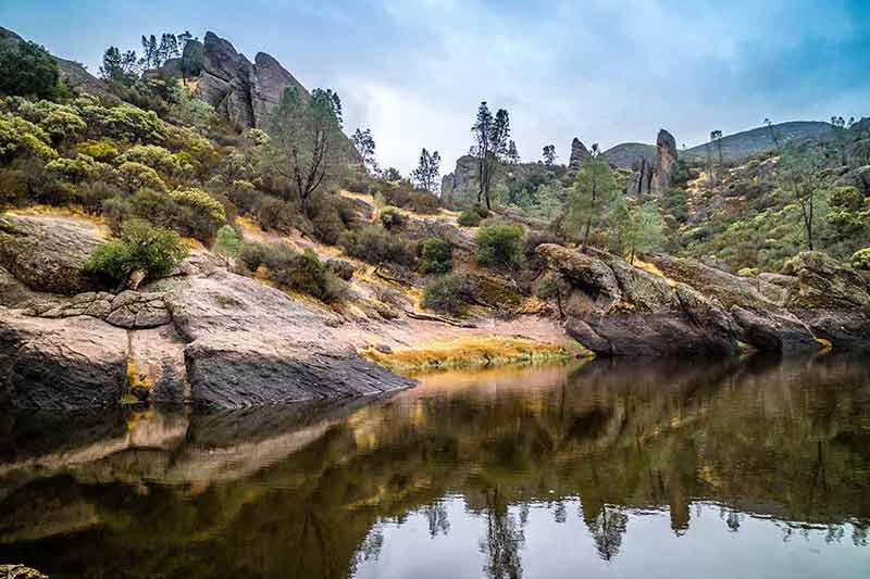
- Hiking
Pinnacles National Park has nearly 30 miles (48 km) of paths ranging from easy to moderate to strenuous.
Hiking through this breathtaking landscape allows visitors to appreciate the park’s natural beauty.
- Talus Caves
Of the two talus caves at Pinnacles, Bear Gulch Cave is closer to the east parking areas, and Balconies Cave is closer to the west.
These caves also provide a home for the bats in the park.
How To Get To The Park
The two entrances to Pinnacles National Park are on Highway 101 and Highway 25. To get to the west side of Pinnacles from Highway 101, first pass through Soledad. To get to East Pinnacles from the north, take Highway 25 through Hollister, and from the south, take Bitterwater Road (G-13) through King City.
8 and 9- Sequoia National Park and Kings Canyon National Park
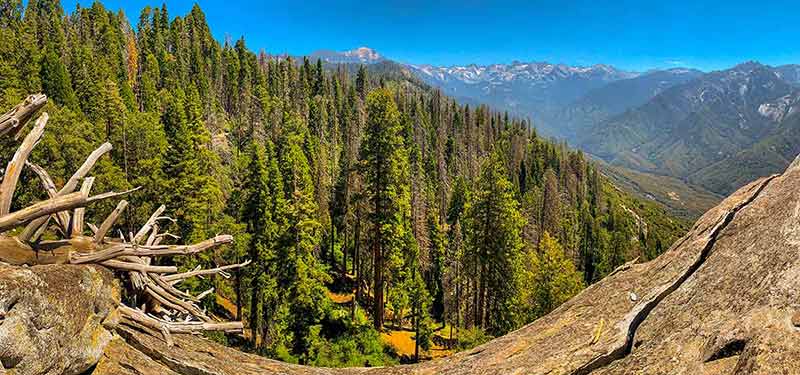
Sequoia and Kings Canyon National Parks are adjacent parks in the southern Sierra Nevada Mountain range.
These parks have some of the most majestic scenery in the world, not just in California, and are known for its towering sequoia trees.
Originally established in 1890 as General Grant National Park, Kings Canyon National Park was expanded to 461,901 acres (186,924 ha) and renamed in 1940.
The adjacent Sequoia National Park was also established in 1890 and now protects 404,064 acres (163,519 ha) of forested mountainous landscape.
In addition to the Redwoods, other natural features of the parks include high mountain meadows, deep valleys, towering mountains, spectacular canyons, caverns and rushing rivers.
Although they are technically two separate national parks, the Sequoia National Park and Kings Canyon National Park are administered jointly by the National Park Service.
Things To Do In The Parks
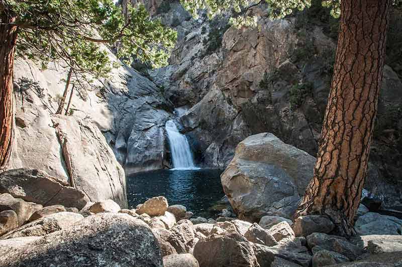
- Explore Sequoia Groves
The park has over 40 groves, such as Grant Grove, home to the General Grant Tree, the world’s second-largest Giant Sequoia, and Redwood Mountain Grove, which includes the world’s tallest giant sequoia.
- Panoramic Point Overlook
The Panoramic Point Overlook has breathtaking views of the park’s massive trees and the surrounding landscapes.
- Moro Rock
Moro Rock is a massive granite monolith in the centre of Sequoia National Park.
Visitors can view Moro Rock from the bottom or ascend over 400 steps to the top, where the view is impressive and well worth the climb.
- General Sherman Tree
The General Sherman Tree in Sequoia National Park is the world’s largest single stem tree by volume, standing at 275 feet (84 m) tall and 36 feet (11 m) in diameter.
You will find this tree in the Giant Forest Grove, which contains five of the world’s 10 largest trees.
How To Get To The Park
The closest cities are Fresno and Visalia. From Fresno, take Highway 180 east to Kings Canyon National Park. From Visalia, take Highway 198 east through Three Rivers to Sequoia National Park. The Generals Highway connects State Route 180 and State Route 198 inside the parks.
If you love exploring national parks, you might like to read:
- Wyoming National Parks Guide
- Nevada National Parks Guide
- Michigan National Parks Guide
- 5 Maine National Parks
- New Hampshire National Parks Guide
- 25 National Parks in Canada
- 17 National Parks in Argentina
- Tasmania National Parks
- 20 National Parks in Mexico
- 18 New Mexico National Parks
- 18 National Parks in Massachusetts
- 17 Colorado National Parks
- 4 Indiana National Parks
- 5 Nebraska National Parks
- 30 Virginia National Parks
- 9 New Jersey National Parks
- 8 National Parks in Arkansas
- 8 Alaska National Parks
- 13 Tennessee National Parks
- 6 National Parks in Louisiana
- 5 Illinois National Parks
- 7 National Parks in Oklahoma
- 7 National Parks in South Dakota
- 12 Alabama National Parks
- 5 North Dakota National Parks
- 8 National Parks in West Virginia
- 20 National Parks in Arizona
- 11 National Parks In Florida
- 8 Hawaii National Parks
- 6 National Parks In Idaho
- Texas National Parks Guide
- 9 California National Parks
- 11 National Parks In Georgia
- 7 National Parks In Missouri
- 5 National Parks in Minnesota
- 7 National Parks In Kentucky
- 8 National Parks In Montana
- 15 National Parks In Washington State
- 8 South Carolina National Parks
- 12 North Carolina National Parks
- 4 Wisconsin National Parks
- 20 National Parks In India
- 11 Oregon National Parks
- 5 Connecticut National Parks
- 27 National Parks In New York State
- 4 Iowa National Parks
- Yosemite National Park
- Zion National Park
- 21 National Parks in Pennsylvania
- 9 National Parks in Mississippi
- 5 National Parks in Rhode Island
- 9 National Parks in Taiwan
- 20 East Coast National Parks
- Guide To Winter in Yellowstone National Park
Plan Your Trip

Rent A Car – Find the best car rental rates at Discover Cars. They compare car hire companies to provide you with the best deal right now.

Find A Hotel – If you’re curious about this article and are looking for somewhere to stay, take a look at these amazing hotels.
